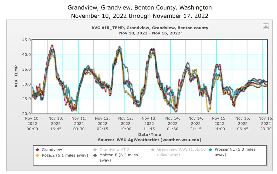
Written by J.B. Curtis, S.E. Hill, and L. Khot. November 22, 2022.
Unexpected events happen: your car gets a flat, the irrigation pump malfunctions, the AgWeatherNet station that provides near real-time weather data for making decisions is offline. Having a backup plan and tools readily at your disposal to implement that plan are critical to overcoming bumps in the road. Just as the spare tire and jack is needed to fix the flat or the backup generator is needed to keep the pump on, the AgWeatherNet Station Correlation tool is needed to select the next best weather station when your most insightful station briefly stops reporting due to hardware, connectivity or related issues. The Station Correlation tool uses historical data from the off-grid station and all other stations to calculate correlations for a selected month. Topographical criteria (distance and elevation) embedded in the tool further aid the user in selecting the best station surrogates. Seamless weather observations and informed decisions made possible with AgWeatherNet’s widely distributed weather stations and value-added tools.
What is correlation?
Correlation is a statistical measure that expresses the extent to which two observations (e.g., 15-minute air temperature records from two weather stations) are linearly related. Correlation values range from -1 to +1. The closer the value is to -1 or +1, the more similar the set of paired observations are to each other as compared to a value of 0, where the set of paired observations are random with respect to each other. A negative correlation close to -1 indicates that as one observation goes up the other goes down and vice versa by a similar amount. A positive correlation close to +1 indicates that both observations go up or down together by a similar amount.
How does AgWeatherNet calculate station correlation?
Observations from every active and inactive station in the network since October 1, 2009 that have a “good” quality flag are used to generate station pair correlations. All possible station pair combinations for a given weather variable are generated and joined on overlapping 15-minute time stamps. Missing or bad values in either station are discarded before joining. Finally, monthly correlation coefficients are calculated using Pearson correlation on the complete set of pairwise observations.
Using the AgWeatherNet Station Correlation tool
The Station Correlation tool is currently accessed under the “Station Metadata” tab on the AgWeatherNet website (https://weather.wsu.edu/) by clicking on “Correlations.” At the top of the Station Correlations page, the “Select Station” dropdown menu allows for selection of a reference station (station to find suitable surrogates for) that then loads an interactive plot of station correlations. The plot, by default, displays the 10 highest correlated stations to the selected reference station but can be adjusted to view fewer. A maximum of four reference stations can be loaded at a time for toggling between.
The weather variable, maximum distance between stations, maximum elevation difference between stations, minimum days stations overlap, and the maximum number of stations to view correlations for, can be adjusted by using the drop-down menus above the chart. Hovering over each cell and station name pops out a window that displays: the correlation value, mean difference for the month (reference station minus surrogate station), the normal range of the difference (95% of 15-min differences fall within stated range), the ellipsoidal distance between stations, the elevation change between stations (negative value indicates reference station is higher), the number of days the station pair overlaps for each month, and the datetime the correlation was last updated/calculated. Use the “mean difference” to adjust a surrogate reported weather observation to represent the reference station more accurately.

Updates coming soon
AgWeatherNet has completed correlations for 1.5 m air temperature and is currently developing functionality for all weather variables. All station pair correlations will be updated each month to incorporate new weather data and continually reduce the uncertainty in the correlation value (reduce the uncertainty yourself by selecting a large “Min Overlap Days”). Ultimately, a combined “similarity index” will be produced for all station pairs that combines correlation information from all variables. Additional updates will include more refined offset estimates and custom map views that show correlations to all other active stations. Feel free to contact us with questions and/or feedback via e-mail to weather@wsu.edu.
Contact
 Bryan Curtis
Weather Data Scientist
j.bryan.curtis@wsu.edu
509-335-3241
References
https://www.jmp.com/en_us/statistics-knowledge-portal/what-is-correlation.html
https://en.wikipedia.org/wiki/Correlation
Fruit Matters articles may only be republished with prior author permission © Washington State University. Reprint articles with permission must include: Originally published by Washington State Tree Fruit Extension Fruit Matters at treefruit.wsu.edu and a link to the original article.